
Waterways like rivers and streams are littered with pollution. To help public authorities stop the flow of this waste before it ends up in the ocean, the Surfrider Foundation is unveiling the first map of river waste in Europe.
On Saturday September 16, citizens around the world will be invited to take part in a massive clean-up operation called World CleanUp Day to raise awareness about pollution. The idea? Pick up the waste that accumulates in your street, on the way to your school, your home or your office. Without forgetting the beaches, banks or rivers!
Waste from rivers ends up in the oceans
And for those who wish to tackle these types of specific sites, there is now a map which lists all the riverside areas polluted by waste. It can be found on the Plastic Origins application (available in several languages) developed by the Surfrider Foundation, an association which actively works for the protection of marine ecosystems. “80% of the waste found in the Ocean comes from inland. Some of them may come from malfunctions of sewage treatment plants or storm overflows which release unclean water in the event of heavy rain. Whatever their origins, a large part of the waste is carried by rivers“, recalls the association in a press release.
Objective: “Work with local authorities to stop this pollution”
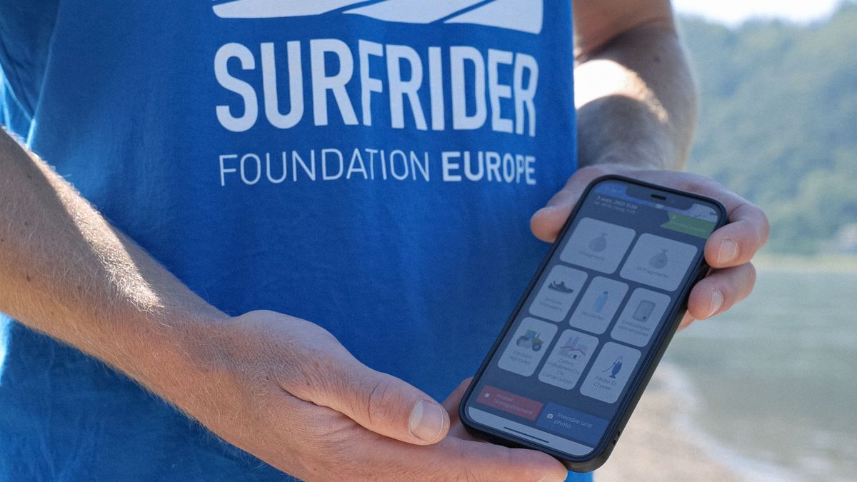
Since 2020, the association has invited all residents and sportspeople who wish to download the application, then take videos of waste floating in rivers and publish them on Plastic Origins, indicating their exact location. An artificial intelligence program then takes over to identify the type of waste spotted by Internet users (but they can also provide this information themselves if they wish).
Thanks to the creation of more than 2,700 accounts on the application, the presence of 24,649 pieces of waste floating in rivers could be reported. A long-term participatory science project aims to “collect, historicize, and make public data from polluted areas to work with local authorities to put an end to this pollution“, specifies the foundation.
1710 km of watercourses covered
This interactive map designed by volunteer computer developers covers sections of 90 rivers located in Europe, in border countries (Switzerland, Spain, Belgium, Central Europe) as well as in the Balkans (Albania, Bulgaria), i.e. 1710 km of course water. Polluted areas identified by application users are indicated by dark blue dots.
Constantly being developed, the tool aims to list as many areas of Europe as possible. “This increase will provide the missing data so that the presence of waste in rivers is considered a real problem on which it is essential to take action at national and European levels.“, pleads Surfrider.